

 Trending

A magnitude 6.1 earthquake struck off the northeastern coast of Sumatra on Tuesday, sending a wave of panic through a region still haunted by the memory of past seismic disasters.
The tremor originated beneath the seabed, rattling coastal towns in Aceh province and prompting families to flee their homes for the safety of open streets.
Despite the intensity of the shaking, the U.S. Geological Survey and Indonesia’s BMKG confirmed that the event did not trigger a tsunami threat.
Residents in the small coastal town of Sinabang reported that the jolts were powerful enough to send people running, though the duration of the quake was relatively short.
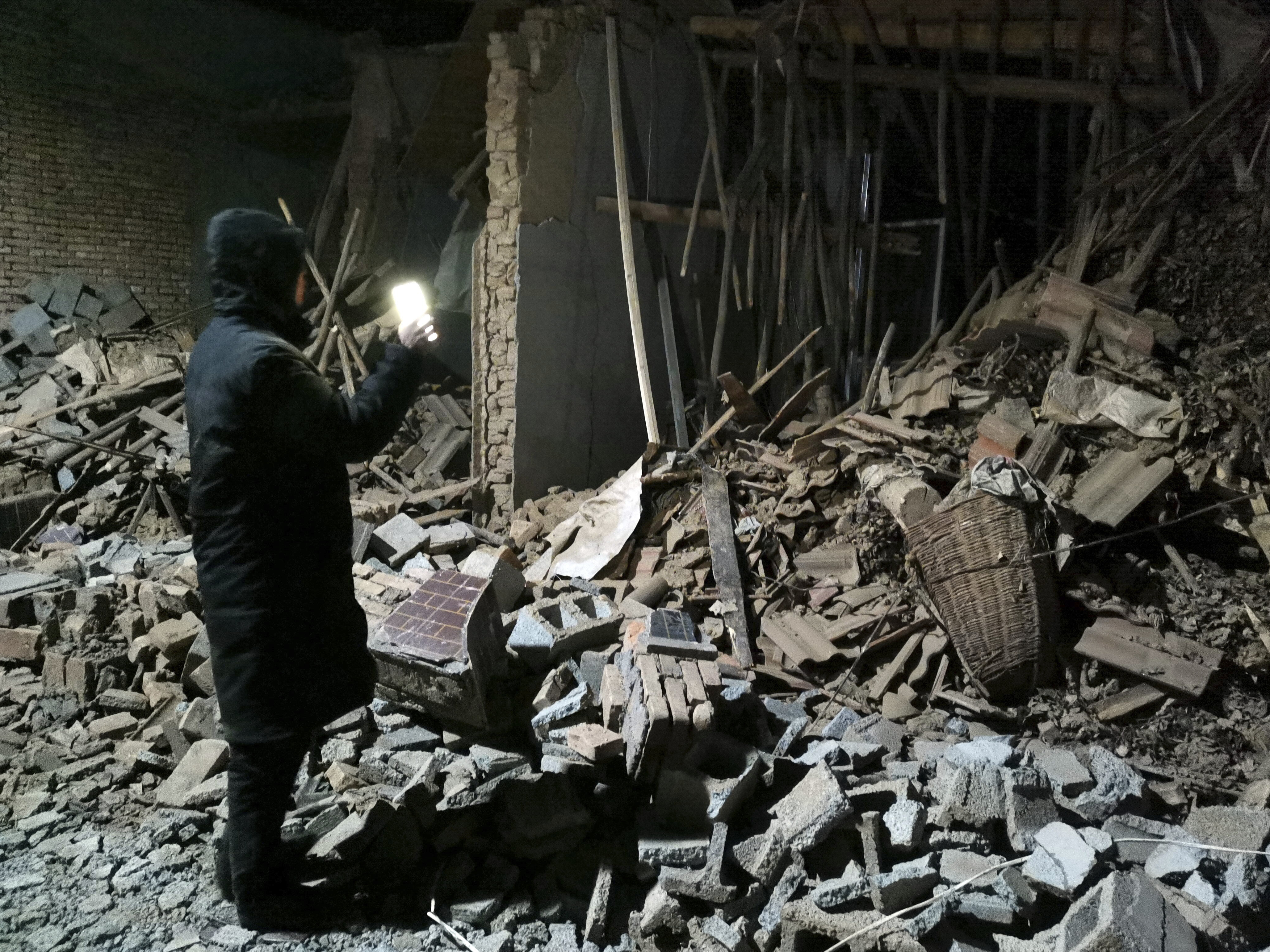
Rahmat Triyono, head of Indonesia’s earthquake and tsunami centre, noted that while the tremor was strong enough to rattle windows, make walls creak, and potentially break glassware in homes on Simeulue Island, it did not result in significant structural damage.
For many, like a resident named Ahmadi, the experience was a terrifying but brief disruption before life returned to a cautious normal.
The event serves as a stark reminder of Indonesia’s position on the “Pacific Ring of Fire,” a volatile arc of tectonic activity where the collision of continental plates makes earthquakes a frequent reality.
The northernmost province of Aceh is particularly sensitive to such movements, having been the site of the catastrophic magnitude 9.1 quake and subsequent tsunami in 2004 that claimed over 170,000 lives.
While Tuesday’s quake caused no serious casualties or major destruction, it highlighted the efficiency of local monitoring systems that quickly ruled out a water-borne threat.
As the shaking subsided, authorities continued to monitor the area for aftershocks, while residents in the vast archipelago remained on high alert, as is customary in one of the world’s most seismically active zones.