


 Trending
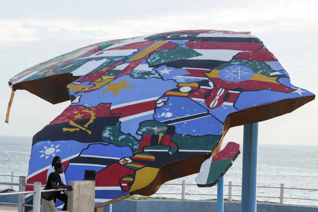
The UN General Assembly voted on Friday to replace the traditional Mercator world map with a projection that accurately represents the true size of Africa.
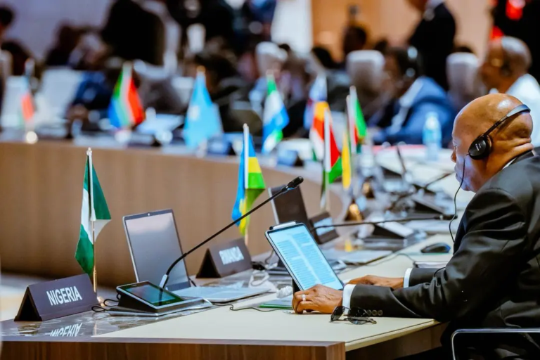
Togo sponsored the “Correct the Map” resolution alongside African Union (AU) members, securing backing from 164 nations—including France and the UK.
The United States cast the sole opposing vote, while six countries abstained.
Although non-binding, the landmark decision will prompt global institutions to update the maps they display and publish.
Created in 1569 by Flemish cartographer Gerardus Mercator to aid European navigation, the traditional map distorts global geography by enlarging landmasses near the poles and shrinking areas near the equator.

Consequently, the Mercator projection displays Africa as roughly equal in size to Greenland, despite Africa being 14 times larger.
Togo’s Foreign Minister Robert Dussey championed the change, arguing at a UN briefing that biased maps shape unfair global perceptions and minimise the developmental needs of equatorial nations.
To fix these historical distortions, the General Assembly approved the Equal Earth projection, an equal-area map developed by cartographers in 2018 and adopted by the AU’s 54 member states earlier this year.
The modern projection resolves the challenge of flattening a three-dimensional globe onto a two-dimensional chart without drastically distorting continental scale.
As Minister Dussey summarised ahead of the historic vote, a fair world must begin with a fair map.